Lower Niagara River Queenston Shale
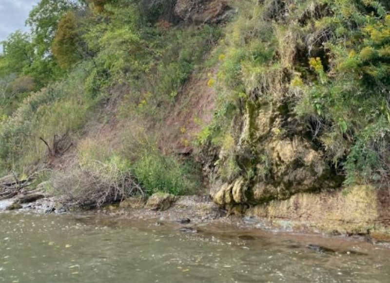
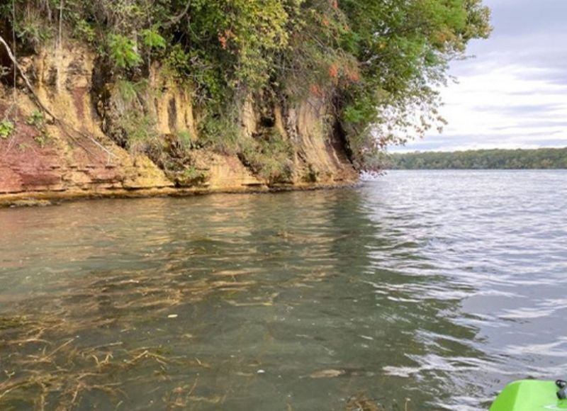
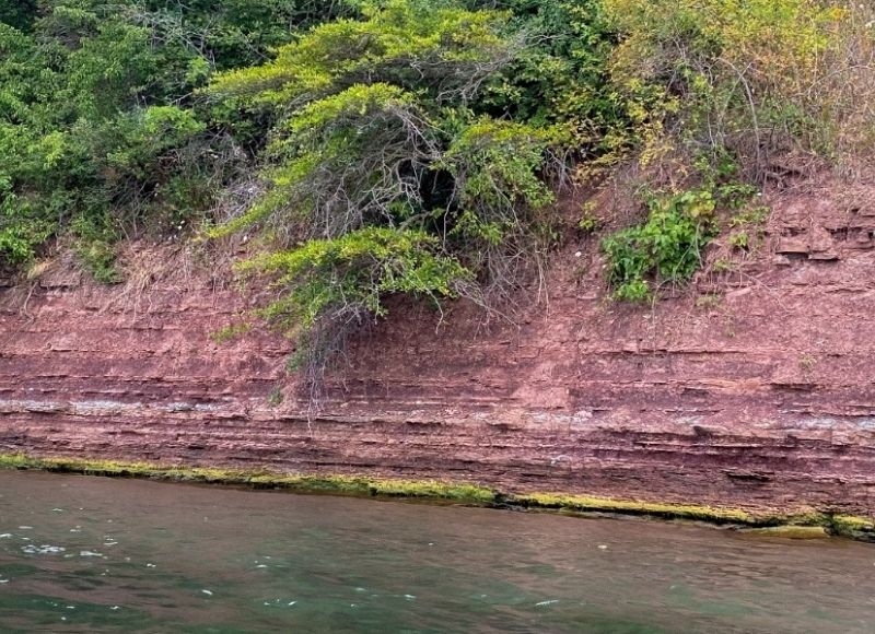
The Lower Niagara River Queenston Shale offers a rare opportunity to experience Niagara’s geological story from the water. By kayak, canoe, or paddle board, visitors can travel along the generally calm lower Niagara River and observe striking red shale exposures lining the shoreline, with access from launch points such as Navy Hall, Ball’s Beach, or Queen’s Royal Park.
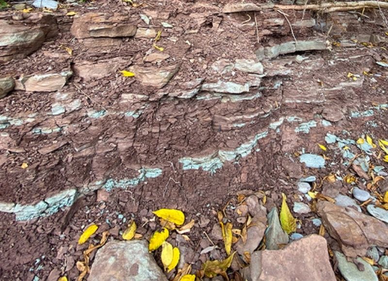
These red shales are part of the Queenston Formation, deposited more than 445 million years ago during the Late Ordovician Period. Higher along the riverbank, much younger layers of gravel, sand, and glacial till can also be seen, laid down roughly 10,000 to 15,000 years ago near the end of the last Ice Age. Together, these contrasting layers reveal an extraordinary span of geological time in one place.
Beyond its geology, the shoreline also supports rich plant and animal life, adding another layer to the experience of this remarkable geosite.
Why It Matters
The Lower Niagara River Queenston Shale makes deep time visible. It helps tell the story of ancient mountain building, shifting environments, glacial change, and ongoing erosion, while showing how Niagara’s landscapes continue to evolve. It is one of the clearest places in the Geopark to see how millions of years of Earth history are written directly into the land.