I launched from the dock at Navy Hall which, given the typical low river level of late September, made the put-in a bit challenging. Either Balls Beach, at the end of River Beach Drive, or the public beach at Queens Royal Park, both just down river in NOTL, would have been better options.
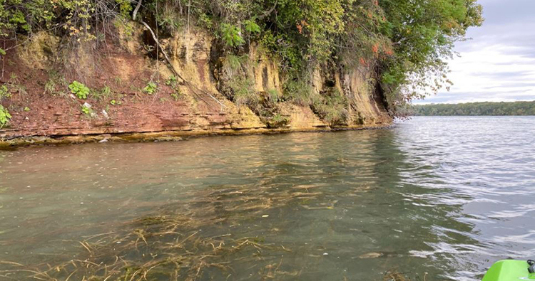
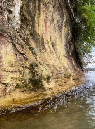
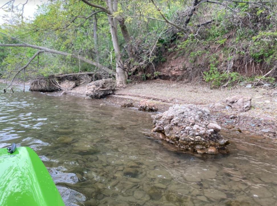
In any case, getting out on the River on this beautiful late September afternoon was truly magical. As I paddled up river towards Smuggler’s Cove Boat Club, I kept close to the shoreline and marveled at the near continuous exposure of the rusty red Queenston Formation – the massive shale succession that underlies every inch of the Geopark and far beyond. It was laid down over several million years in the Late Ordovician period as a massive delta, many times larger than the present-day Mississippi Delta, fanned out on the western flank of the Taconic Mountains, located several hundred km’s to the east.
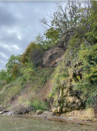
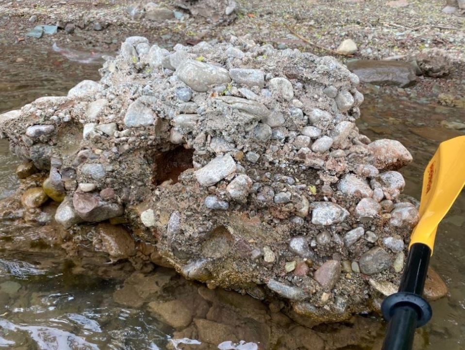
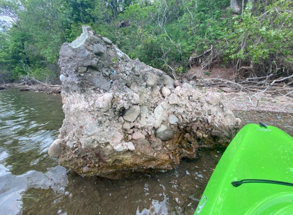
Also nicely visible higher up along the bank, unconformably overlying the Queenston Shale, is several metres of loosely consolidated conglomerate of coarse gravel and sand that formed on the bottom of Lake Iroquois ten to fifteen thousand years ago. The relentless erosional force of nature is on display where a small overhanging cliff looks to be ready to break off and join other chunks of conglomerate lying in the river below.
A wide range of flora and fauna is on display along the river as well. I disturbed a pair of turkey vultures snacking along the shore and I took a close look at some beautiful flowers and mosses exploiting a moist, shaded microclimate just above the waterline.