Welland Canal
In 2029 the Welland Canal celebrates 200 years! Most remarkable is the spectacular presence its history has remained on our landscape and deserves a place on the “must-see” list for Niagara residents and visitors.
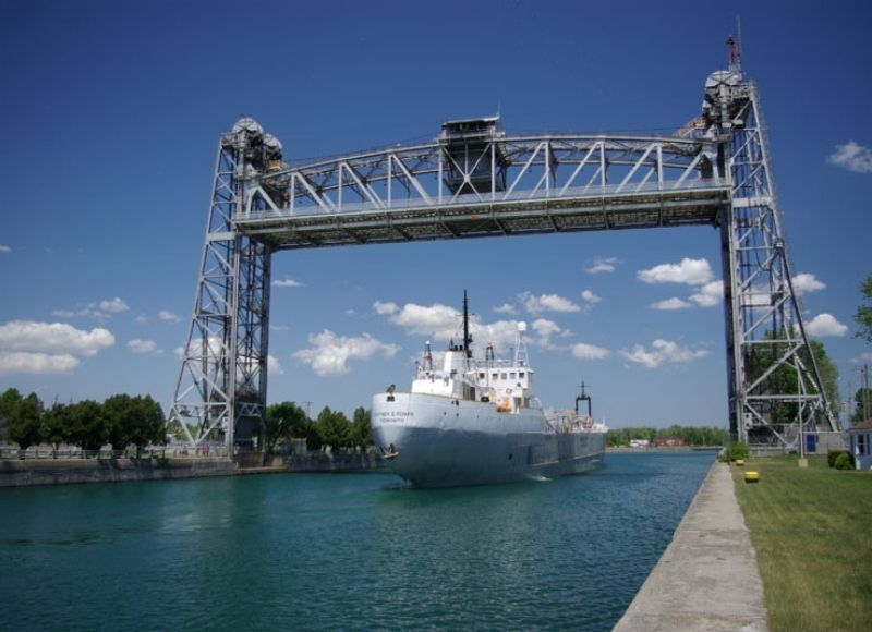
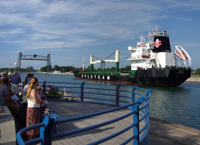
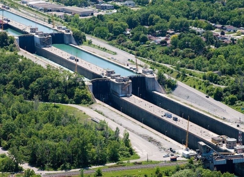
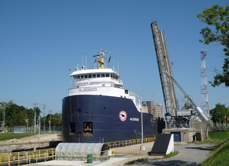
First built in 1829, the Welland Canal is a major route of the St. Lawrence Seaway System for ships navigating between Lake Ontario and Lake Erie to circumvent the 100 metre rise in elevation of Niagara Falls. It stands apart from others as the steepest climb any canal in the world must make and recognized as a magnificent feat in engineering. Over a period of one hundred years the canal was rebuilt and re-routed three times between St. Catharines and Port Colborne, from 40 wooden locks to its current design of 8 concrete locks. These historic transitions are showcased in all their grandeur from various locations.
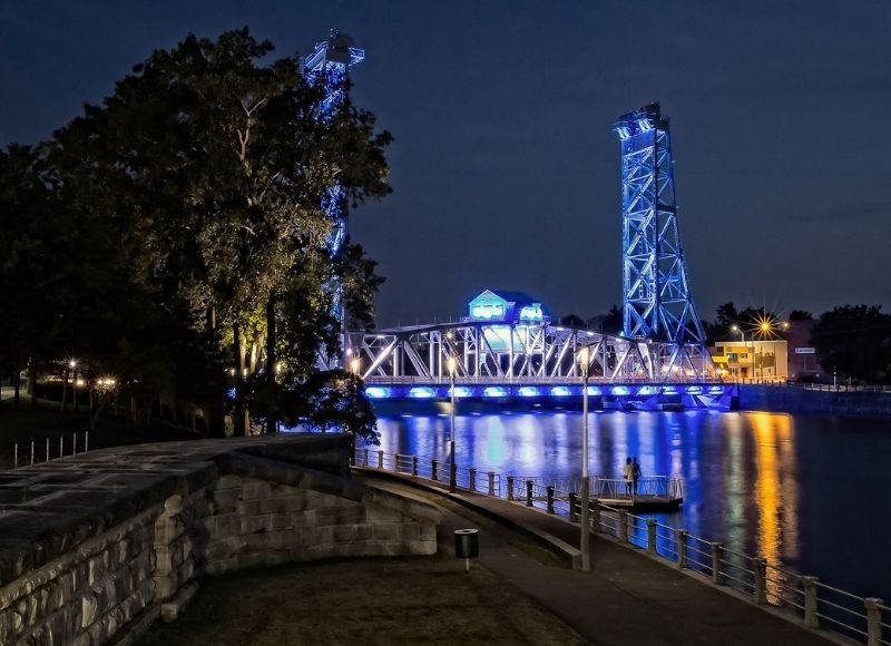
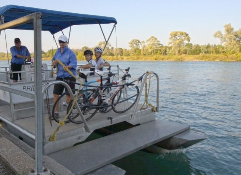
The current Welland Ship Canal, built in 1932, is best viewed via the Welland Canal Parkway Trail and the St. Catharines Museum and Welland Canals Centre. A close-up view of the 19th century historic second and third canal locks is best explored from designated trails that meander through St. Catharines and Thorold, namely Mountain Locks Park in Merritton, and by visiting several canal communities such as Port Dalhousie and Port Colborne. Remnants of the first canal, 1829, have been buried or destroyed.
First inspired by mill owner and businessman William Hamilton Merritt, the canal was established to stimulate local and regional trade. However, the government of Upper Canada soon realized its potential as a crucial artery for British North American trade. Its presence has had a direct influence on the economic prosperity and pattern of development for many Niagara communities. Historically, industries such as flour, rye, corn milling, lumber mills, the pulp and paper industry, shipbuilding and repairs, beer and winemaking, and power generation have all been made possible because of the accessible, consistent supply of water it provided. Quite simply, it is the reason St. Catharines, Port Colborne, and many communities in between, exist today.
The canals can also be explored through a virtual and interactive web tool Historic Welland Canals Mapping Project. Here the routes and features of all four canals are displayed in their entirety.